About the project
Mari, modern Tell Hariri, located in the Middle Euphrates region in Syria is one of the most famous sites in the Near East, and dates from the 3rd to the beginning of the 2nd millennium BCE. Since it was destroyed and rebuilt several times during that period, its excavators divided its occupational history into three main phases: Ville I – III.
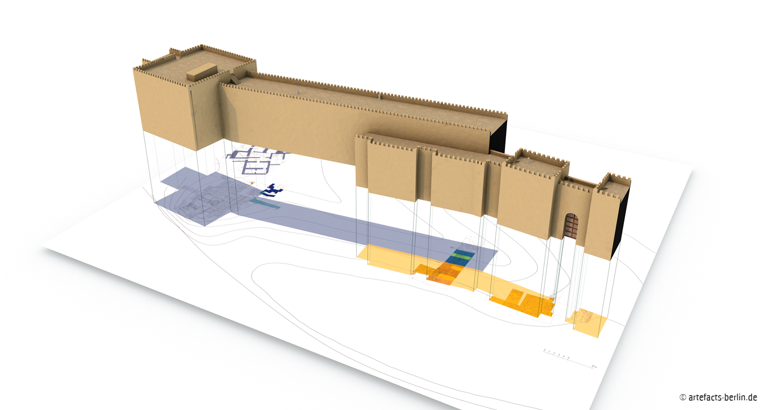
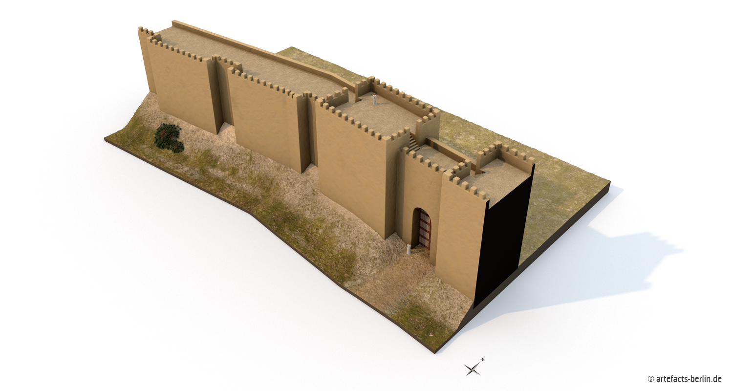
Since 2005, a new research team under the direction of Prof. Dr. Pascal Butterlin has continued the excavations at Mari. One of the project’s new objectives is a detailed investigation of the city’s fortification walls, which, according to the excavation results, display five distinct developmental stages; in each phase the walls grow stronger and more defensive. Although excavations were limited to a small area of the mound, detailed conclusions could still be made about the construction of these fortifications.
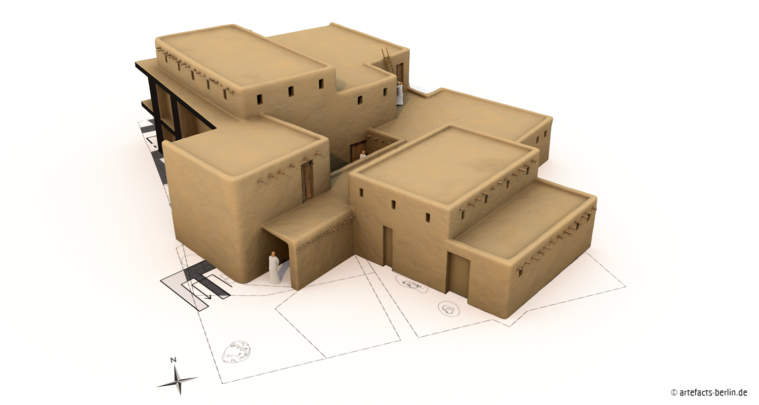
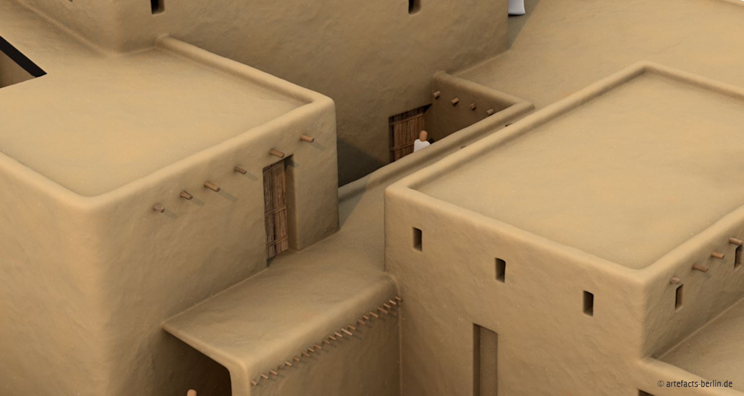
Together with the excavators, we developed a scientifically well-founded reconstruction of the fortification walls, the city gate, and an adjoining residential building as the basis for our 3D models. For the visualisation, we decided to render the results in a detailed and technical fashion to facilitate the understanding of the architecture’s underlying construction features.
The results of this visualisation were presented by Dr. Sébastien Rey at the 8th International Congress on the Archaeology of Ancient Near East (ICAANE), held in Warsaw in 2012.
Literature
- Butterlin, P. 2008: Les nouvelles recherches archéologiques françaises à Mari (2005-2006): in Studia Orontica II, pp. 61-89.
- Butterlin, P. 2010: D’Uruk à Mari, recherches récentes sur la première révolution en Mésopotamie méridionale et centrale: in Histoire urbaine 29, pp. 133-160.
- Butterlin, P. 2011: Cinq campagnes à Mari: nouvelles perspectives sur l’histoire de la métropole du Moyen-Euphrate: Comptes rendus de l’Académie de Janvier-Mars 2010.
- Margueron, J.-C. 2004: Mari. Metropole de L’Euphrate. Paris.


